
Places is a feature that lets you define a virtual geographic boundary around an area. When a GPS device crosses this virtual boundary, it's logged in Autogear, and you can, for example, get a notification when entering or leaving the zone.
Setting up a geofence in Places
Tap Fleet and then Places. Tap + Create new and follow the guide.
- Choose the shape you want to use, give it a name and search for the address. Adjust the shape as needed, and click Next.
- Choose whether trips within this area should be defined as private or work. - Optional: Search for the project you want to appear on trips in this area. - Optional: Add a description of the project or area.
Click Save.
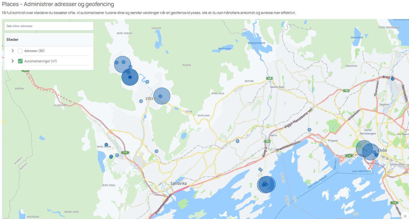
Example of how you see several geofences on the map. In this image, only circles are used.
Where do I find the geofences I've created, and how do I edit them?
All active geofences you've created appear in the list below the map, under the Automations tab. Here you can search, edit and delete them.
What does the notification look like?
The notification is sent by email to the selected user(s). It includes the vehicle's license plate, which geofence was crossed, the direction of travel (Enter or Exit), and the time of the event. Geovarsel.png
Why should you use geofences?
Geofencing gives you easy access to information about a vehicle's position and movements, giving you more control and oversight of your business's fleet. It can help you keep track of vehicle movements and ensure they stay within a defined area — especially useful for businesses with a large number of vehicles. Examples include a warehouse, a project site or the office.
Autogear has various GPS types, such as Asset and Tag, that can be used for other types of assets than vehicles — for example trailers and containers. Contact us for more information.
Who can use geofences?
Geofence is a feature available to customers with a Business license.